
GeoCue Group
Powerful Visualization
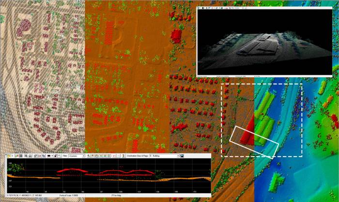
Point cloud data within LP360 give the ability to not only see the world in 3D but to answer questions about it that previously had to be determined using field measurement techniques. Using the many display combinations in LP360 not only saves time, which equates to saving money, but also provides a safer work environment by getting questions answered from the back office.
Extensive Quality Check Tools
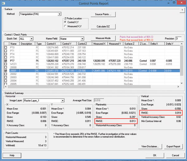
Our extensive Quality Check toolset can determine what type of data you are working with and identify problems in a timeframe that prevents costly errors and ensures that you have the quality data you need. Tools include the ability to measure both horizontal and vertical accuracy in accordance with the latest ASPRS accuracy standards.
Volumetric Analysis
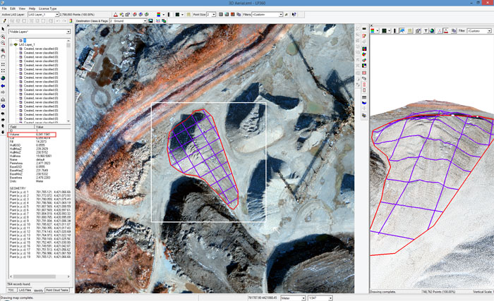
LP360 includes a complete tool set for volumetric analysis, including tools to automatically create 3D stockpile toes. Volumes can be computed using defined bases or between point clouds (for use in time change analysis). The reports include tabular data as well as the ability to generate output point clouds that represent the volume area.
Automatic Ground Classification
Automatic Ground Classification is a configurable point cloud task (PCT) that allows for comprehensive classification of flat or hilly terrain.
Specialty Tools
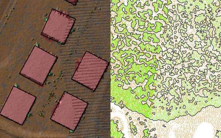
LP360 includes a number of specialty tools for specific applications such as automatic rail alignment collection, top of rail classification, intelligent point cloud thinning, gridding tools as well as others.
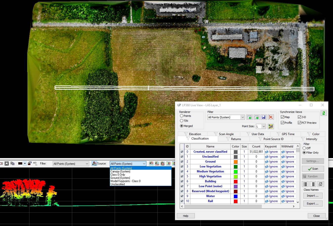
Export Products
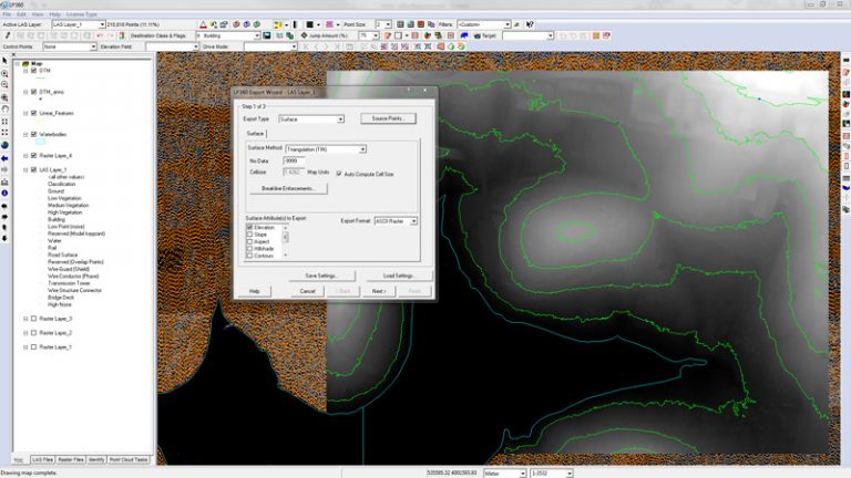
LP360’s Export Wizard provides the ability to generate derived products on an ad hoc basis to give a solution tailored to your exact needs, including DEM, Hillshade, Contours, Shapefiles, etc.
Breakline Collection/Enforcement
LP360 contains a rich set of tools for collecting point cloud based breaklines ranging from edge of pavement to river flattening. LP360’s visualization and product creation tools support enforcement of points, polylines and polygons.
